September 20, 1999 Earthquake: Nantou, Taichung, Taizhong, Taiwan
A magnitude 7.6 earthquake struck Nantou, Taichung, Taizhong, Taiwan on September 20, 1999 at 17:47:18 UTC, 25 km below the surface. It killed 2,297 people.
Map
Where it struck, with the other significant earthquakes within 200 km. Circles are sized and colored by magnitude; select one for its page.
The earthquake
- Date
- September 20, 1999
- Time
- 17:47:18 UTC
- Place
- Nantou, Taichung, Taizhong, Taiwan
- Magnitude
- 7.6 (Mw)
- Focal depth
- 25 km (16 mi)
- Intensity
- 10 on the Modified Mercalli scale
- Tsunami
- None recorded
- Epicenter
- 23.834° N, 120.813° E
- Country
- Taiwan
The toll
- Deaths
- 2,297
- Injuries
- 8,700
- Damage
- $14 billion
- Houses destroyed
- 8,200
- Houses damaged
- 82,000
Where the literature gives no number, NCEI records a description on a scale of 1 to 4, printed here in its words. Damage is in millions of US dollars of the year of the event, not adjusted for inflation.
What the record says
NCEI’s account, from the sources it cites.
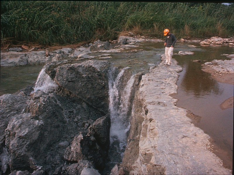
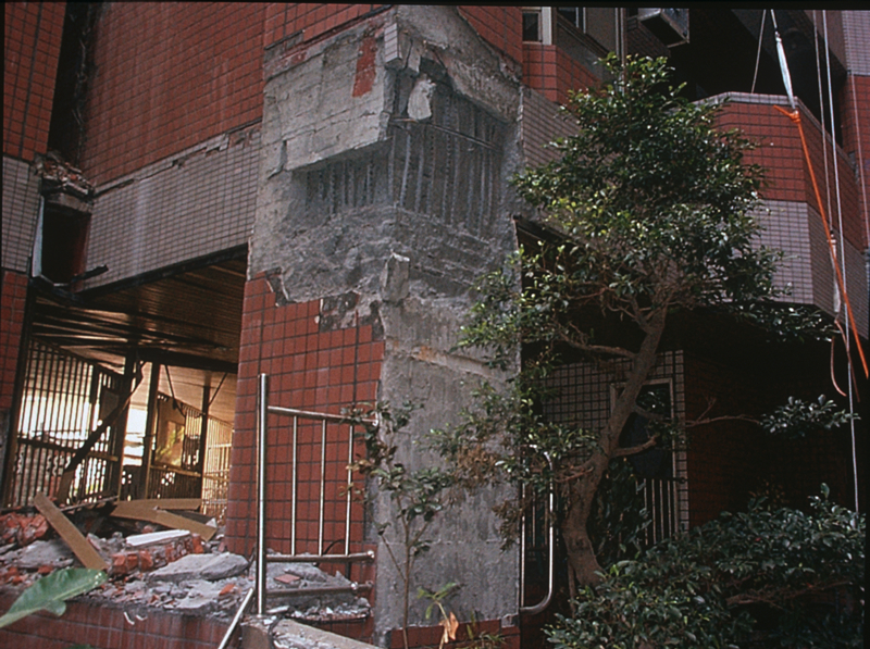
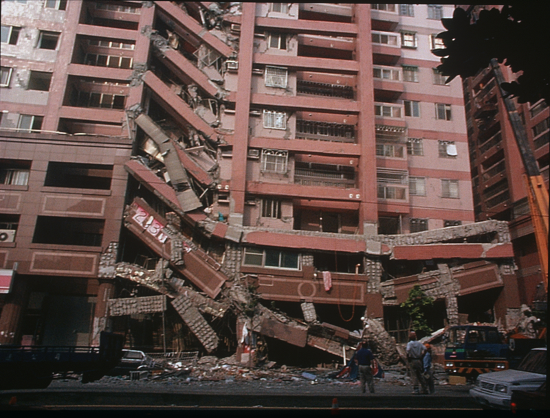
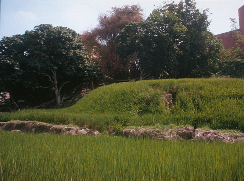
At least 2,297 people killed, 8,700 injured, 600,000 people left homeless and about 82,000 housing units damaged by the earthquake and larger aftershocks. Damage estimated at 14 billion U.S. dollars. Maximum intensity (VI JMA) in Nan-touand Tai-chung Counties. Half of a village was lost by subsidence into the Ta-an Hsi and landslides blocked the Ching-shui Hsi, creating a large lake. Two other lakes were created by substantial ground deformation near the epicenter. Surface faulting occurred along 75 km of the Chelungpu Fault. Felt (V JMA) at Chia-i and I-lan; (IV JMA) at Kao-hsiung, Taipei and Tai-tung; (IV JMA) on Lan Yu and Peng-hu Tao; (III JMA) at Hua-lien. Felt strongly in Fujian, Guangdong and Zhejiang Provinces. Felt (IV) in Hong Kong. Also felt (II JMA) on Iriomote-jima and Yonaguni- jima; (I JMA) on Ishigaki-jima and Miyako-jima, Ryukyu Islands. (reference #1053)
The Chi-Chi earthquake of Mw7.7 occurred on 20 September 1999 (17:47:16, UTC) in Taiwan, with the epicentre at (120.82oE, 23.85oN) and a focal depth of 8 km. This event has been recognized as the largest earthquake in Taiwan during the past 100 years. Chi-Chi earthquake claimed a death toll of 2492 human lives (Tien et al., 2002). (reference #13294)
1999 Sept 20 17:47:19.73, 23.834 N 120.813 E, magnitude 7.63 Mw (reference #10476, v 9.1)
Photos
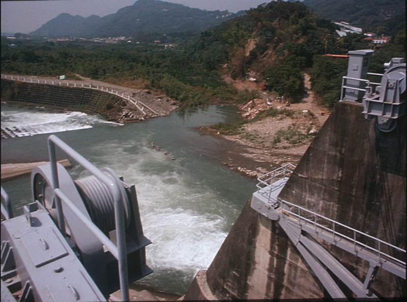
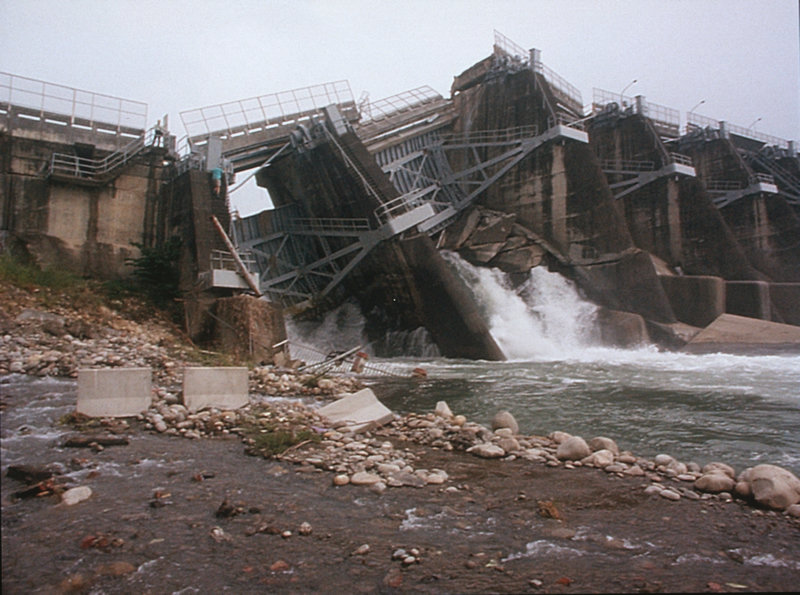
From the NCEI/WDS Natural Hazards Image Database (doi:10.7289/V5154F01). Only photos by the USGS and NOAA, which are public domain, are shown.






Other significant earthquakes nearby
Within 200 km, the deadliest first.
- May 22, 1782, Tainan, Taiwan
- April 20, 1935, Mialoi, Taiwan
- July 16, 1935, Xiinzhu, Taiwan
- June 6, 1862, Tainan, Taiwan
- 1721, Tainan, Taiwan
- March 16, 1906, Jiayi, Taiwan
- December 3, 1848, Zhanghua, Taiwan
- February 1845, Zhanghua, Taiwan
- December 16, 1941, Taiwan
- January 30, 1736, Tainan, Taiwan
- August 9, 1792, Jiayi, Tainan, Taiwan
- August 28, 1916, Taiwan
- November 5, 1904, Jiayi, Taiwan
- June 27, 1839, Jiayi, Taiwan
- February 5, 2016, Tainan, Taiwan
More
Significant earthquakes of 1999The 1900sEvery quake the USGS located in 1999Recent earthquakes near hereThis day in weather history
Sources
Significant earthquakes from NOAA’s National Centers for Environmental Information, Global Historical Hazard Database, cited as NCEI/WDS, doi:10.7289/V5PN93H7. Public domain. Read 2026-09-24. NCEI earthquake 5535.