M3.9 earthquake 265 km SE of Chiniak, Alaska
A magnitude 3.9 earthquake struck 265 km SE of Chiniak, Alaska on Wed, Jan 19, 2022, 5:24 AM AKST (14:24 UTC), 10 km (6 mi) below the surface.
A larger quake followed: M4.9 275 km SE of Chiniak, Alaska. This one was a foreshock.
Map
Where this earthquake was located, with the others nearby. Select one for its page.
The earthquake
- Magnitude
- 3.9 (mb), minor
- Local time
- UTC
- 2022-01-19 14:24:37 UTC
- Depth
- 10.0 km (6.2 mi), shallow
- Epicenter
- 56.276° N, 148.673° W
- Region
- Alaska
- Strongest shaking
- I, not felt shaking
- Tsunami flag
- No
- Status
- Reviewed by a seismologist
Shaking
The USGS ShakeMap: shaking estimated from seismic stations and the quake’s size, on the Modified Mercalli intensity scale.
- Map
- Automatic
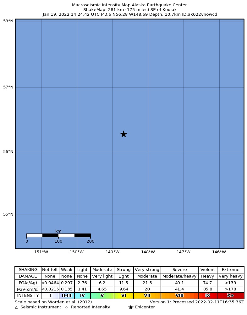
Did you feel it?
No one has reported feeling this quake to the USGS.
How well it is located
Reviewed by a seismologist.
- Location uncertainty
- About 7.4 km horizontally, 2.0 km in depth
- Magnitude uncertainty
- ±0.15
- Depth from
- Operator assigned
- Station coverage gap
- 141°
- Stations used
- 103
Nearest places
Distance and direction from each place to the epicenter, with its forecast.
Nearby
Within 100 km, magnitude 1.5 and up: 37 in the 60 days after this one and 6 in the 30 days before it.
After
- 3.1242 km SE of Chiniak, Alaska · 1711 days ago · 10 km deep · 33 km away
- 2.9198 km SE of Chiniak, Alaska · 1701 days ago · 10 km deep · 72 km away
- 2.8228 km SE of Chiniak, Alaska · 1700 days ago · 10 km deep · 43 km away
- 4.9275 km SE of Chiniak, Alaska · 1697 days ago · 10 km deep · 61 km away · tsunami flag
- 3.5267 km SE of Chiniak, Alaska · 1697 days ago · 10 km deep · 61 km away
- 3.1278 km SE of Chiniak, Alaska · 1697 days ago · 4 km deep · 73 km away
- 2.7188 km SE of Chiniak, Alaska · 1697 days ago · 10 km deep · 76 km away
- 3.1192 km SE of Chiniak, Alaska · 1697 days ago · 10 km deep · 76 km away
- 2.7234 km SE of Chiniak, Alaska · 1695 days ago · 10 km deep · 35 km away
- 3.0222 km SE of Chiniak, Alaska · 1693 days ago · 10 km deep · 43 km away
- 2.8210 km SE of Chiniak, Alaska · 1692 days ago · 10 km deep · 74 km away
- 3.1249 km SE of Chiniak, Alaska · 1690 days ago · 10 km deep · 16 km away
- 2.9212 km SE of Chiniak, Alaska · 1690 days ago · 10 km deep · 73 km away
- 3.4243 km SE of Chiniak, Alaska · 1690 days ago · 10 km deep · 21 km away
- 3.3227 km SE of Chiniak, Alaska · 1687 days ago · 10 km deep · 38 km away
- 2.8219 km SE of Chiniak, Alaska · 1687 days ago · 10 km deep · 46 km away
- 2.8255 km SE of Chiniak, Alaska · 1685 days ago · 10 km deep · 42 km away
- 4.3224 km SE of Chiniak, Alaska · 1684 days ago · 10 km deep · 73 km away
- 3.0205 km SE of Chiniak, Alaska · 1684 days ago · 10 km deep · 75 km away
- 2.9257 km ESE of Chiniak, Alaska · 1683 days ago · 10 km deep · 18 km away
- 3.1228 km SE of Chiniak, Alaska · 1681 days ago · 10 km deep · 78 km away
- 2.6234 km ESE of Chiniak, Alaska · 1681 days ago · 10 km deep · 44 km away
- 3.1240 km SE of Chiniak, Alaska · 1680 days ago · 10 km deep · 34 km away
- 4.3241 km SE of Chiniak, Alaska · 1679 days ago · 10 km deep · 34 km away
- 2.7238 km SE of Chiniak, Alaska · 1679 days ago · 10 km deep · 43 km away
- 4.0240 km SE of Chiniak, Alaska · 1679 days ago · 10 km deep · 38 km away
- 4.2235 km SE of Chiniak, Alaska · 1679 days ago · 10 km deep · 42 km away
- 3.0Gulf of Alaska · 1679 days ago · 10 km deep · 41 km away
- 2.9253 km SE of Chiniak, Alaska · 1679 days ago · 10 km deep · 44 km away
- 2.7231 km SE of Chiniak, Alaska · 1679 days ago · 10 km deep · 51 km away
- 3.0234 km SE of Chiniak, Alaska · 1678 days ago · 10 km deep · 44 km away
- 2.8220 km ESE of Chiniak, Alaska · 1678 days ago · 10 km deep · 45 km away
- 4.4273 km SE of Chiniak, Alaska · 1672 days ago · 10 km deep · 61 km away · felt by 1
- 3.2247 km SE of Chiniak, Alaska · 1669 days ago · 10 km deep · 38 km away
- 2.7259 km ESE of Chiniak, Alaska · 1660 days ago · 22 km deep · 37 km away
- 3.2252 km SE of Chiniak, Alaska · 1655 days ago · 22 km deep · 13 km away
- 3.7255 km SE of Chiniak, Alaska · 1653 days ago · 10 km deep · 9 km away
Before
- 3.2249 km ESE of Chiniak, Alaska · 1713 days ago · 10 km deep · 34 km away
- 3.2244 km ESE of Chiniak, Alaska · 1713 days ago · 10 km deep · 24 km away
- 3.9222 km SE of Chiniak, Alaska · 1724 days ago · 10 km deep · 43 km away
- 3.0231 km SE of Chiniak, Alaska · 1725 days ago · 10 km deep · 34 km away
- 3.0191 km ESE of Chiniak, Alaska · 1739 days ago · 10 km deep · 73 km away
- 2.9221 km SE of Chiniak, Alaska · 1741 days ago · 20 km deep · 68 km away
Earthquakes todayAlaska earthquakesLive radar here
Sources
From the USGS Earthquake Hazards Program and its partner networks, event us7000gd5e (also filed as ak022vnowcd). Read Sun, Sep 27, 2026, 4:14 PM UTC.