Spurr is a stratovolcano in the United States, 3,374 m (11,070 ft) high. Its last known eruption: 1964 or later. NOAA records 1 significant eruption here, which killed 1 people where the toll is counted.
Spurr on the map
Spurr and the volcanoes within 300 km, colored by when each last erupted.
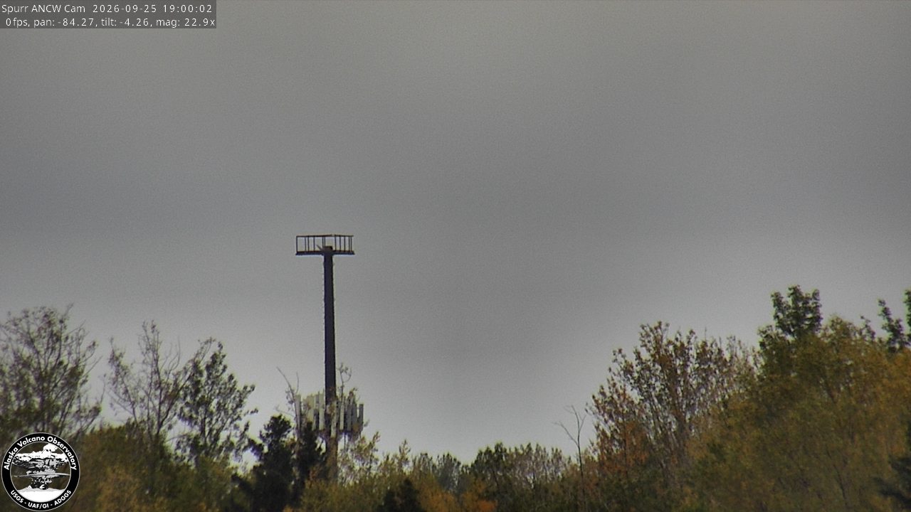
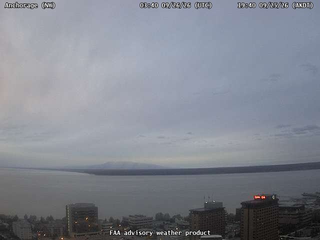
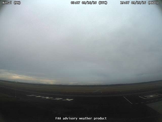
The newest image from each of the 7 cameras watching Spurr when this page was built, each with the time it was taken. Tap one for the full-size image. Only cameras owned by the USGS or another federal or state agency are shown. Every camera, with its past images: the USGS AshCam viewer.
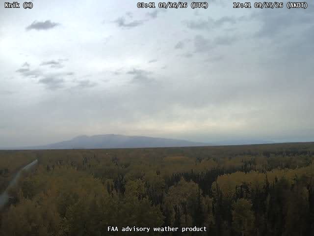
Spurr ANCW Camera at 148 ft. Taken Sep 25, 7:00 PM AKDT (03:00 UTC), at night. USGS Alaska Volcano Observatory.Spurr SPCR Camera at 3,199 ft. Taken Sep 25, 7:01 PM AKDT (03:01 UTC), at night. USGS Alaska Volcano Observatory.Anchorage, looking northwestTaken Sep 25, 7:40 PM AKDT (03:40 UTC), at night. Federal Aviation Administration weather camera.Kenai, looking northwestTaken Sep 25, 7:38 PM AKDT (03:38 UTC), at night. Federal Aviation Administration weather camera.Knik, looking westTaken Sep 25, 7:42 PM AKDT (03:42 UTC), at night. Federal Aviation Administration weather camera.Nikiski, looking northwestTaken Sep 25, 7:37 PM AKDT (03:37 UTC), at night. Federal Aviation Administration weather camera.Trading Bay, looking northwestTaken Sep 25, 7:40 PM AKDT (03:40 UTC), at night. Federal Aviation Administration weather camera.
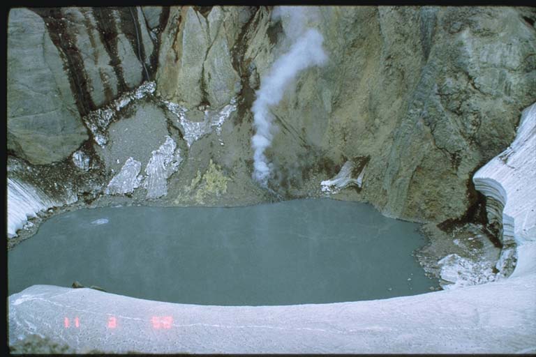
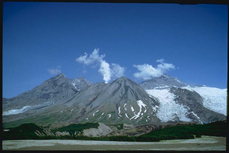
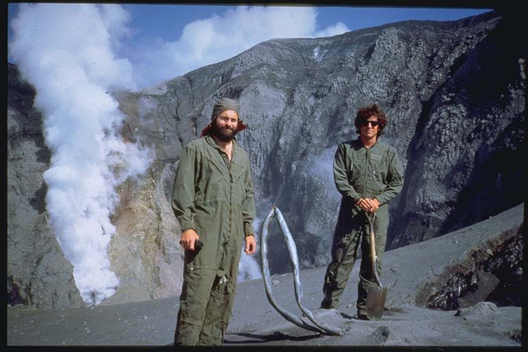
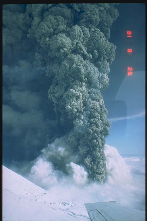
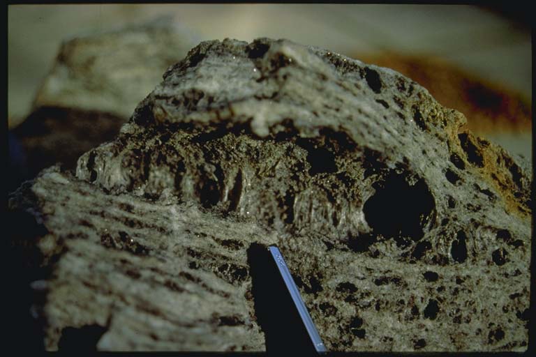
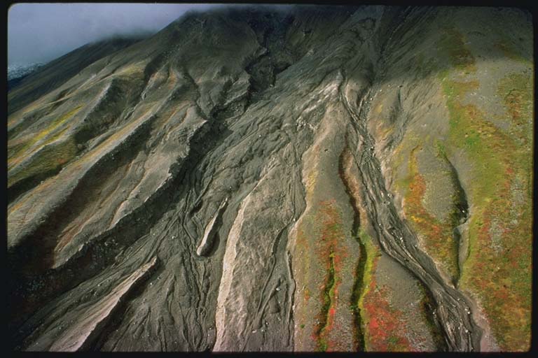
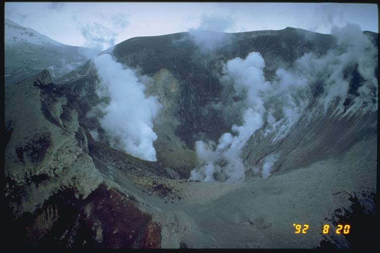
Warm lake within the Crater Peak basin prior to eruption Within the Crater Peak basin, a warm lake, approximately 500 m across, developed some time after the 1953 eruption. On June 11, 1992, the lake had a temperature of 59 degrees C and a pH of 2.5. A darkening of the lake color and upwelling zones, the largest about 5 m across is visible to the right in this view, indicated a possible addition of sulfur and an… Photo: R.G. McGimsey, U.S. Geological Survey.Steam rising from the Crater Peak vent An overflight on June 26 revealed that the lake in Crater Peak had disappeared. After four hours of energetic seismicity, Crater Peak erupted explosively at 0704 AST on June 27, 1992. The eruption occurred under heavy cloud cover and was not photographed. Tephra from the 15-km high eruption column darkened the snow and ice of the surrounding mountains.… Photo: T.P. Miller, U.S. Geological Survey.Damage to seismometer on Crater Peak by the June 27 eruption A seismometer had been installed on the rim of Crater Peak, in August of 1991. Signals from this instruments allowed AVO to track the build up of seismicity prior to the eruption. Several hours into the eruption, the seismometer stopped transmitting. This twisted steel pipe with 1/4 inch thick walls and a melted, blasted piece of corrugated, galvanized… Photo: U.S. Geological Survey.The ash column from the August 18 eruption The volcano quieted down after the June 27 eruption, and it appeared as if, similar to the 1953 eruption, this phase of activity had ended. However, on August 18, 1992, a pilot reported ash over the volcano. At 1641 AST, without significant seismic precursors, Crater Peak again erupted, suddenly and explosively, sending pulverized rock to more than 14 km… Photo: R.G. McGimsey, U.S. Geological Survey.Ash cloud rising off south flank of Crater Peak A lighter toned ash cloud rising off the south flank of Crater Peak resulted from avalanches of hot debris, or pyroclastic flows, that had traveled down the side of the cone towards the Chakachatna River. The summit of Mt. Spurr is at left. The spreading eruption cloud at this time has reached at least 14 km altitude and formed a wide, anvil-shaped cloud. Photo: R.G. McGimsey, U.S. Geological Survey.South flank of Crater Peak showing bomb impact craters Each eruption violently ejected large bombs along a narrow ballistic trajectory from the vent. This oblique view of the south flank of Crater Peak shows the fall-colored tundra and a covering of pyroclastic flow deposits dotted with numerous impact craters formed when these bombs slammed into the ground. These ballistic showers probably occurred during… Photo: C.A. Neal, U.S. Geological Survey.New magma within the pyroclastic flow deposits Juvenile (new magma) material within the pyroclastic flow deposits consists of these brown, cauliflower-shaped cobble and boulder-sized clasts. The chemical composition of most of the newly erupted material is that of basaltic andesite with a SiO2 content of about 57%, a rock type typical for Crater Peak. Under the microscope, these rocks are only slightly… Photo: C.A. Neal, U.S. Geological Survey.Inflated gneiss ejected in 1992 A spectacular product of this eruption includes this example of inflated gneiss which was ejected in small quantities during each of the three eruptions in 1992. This material appeared in various states of vesicularity and is believed to represent remelted, frothy blobs of basement rock beneath Crater Peak. This material is found as separate ejecta clasts… Photo: T.P. Miller, U.S. Geological Survey.Successive pyroclastic avalanches Successive pyroclastic avalanches formed overlapping, lobate tongues of coarse debris that coursed down the upper flanks of Crater Peak and funneled into pre-existing drainage. The farthest traveled pyroclastic flows moved about 3 km from the crater rim, descending more than 1000 m, as shown in this oblique view of the south flank of Crater Peak. Photo: C.A. Neal, U.S. Geological Survey.Geologist near one of bomb craters on south flank of Crater Peak A geologist stands near one of the bomb craters on the south flank of Crater Peak. By measuring the orientations of some of the craters, it appears that many of the impacting bombs were spinning like a curve ball when they hit the ground. Photo: C.A. Gardner, U.S. Geological Survey.Fallout from tephra cloud deposited on the ground Fallout of coarse material from the spreading tephra-cloud resulted in a narrow zone of deposition on the ground. This is a Photo of the deposit from the August 18 eruption. Sixteen cm of lapilli and coarse sand representing about 3.5 hours of fallout accumulated 8 km downwind of the vent. The different colors within the tephra-lighter at the base and… Photo: R.G. McGimsey, U.S. Geological Survey.The inside of Crater Peak after the August eruption Following the August eruption, the inside of Crater Peak was mantled with pyroclastic debris and coarse talus from rock avalanches from the steep crater walls. The actual orifice or vent for the eruptions is located at the back (NW) corner of the crater, here steaming profusely. Other "rootless" fumaroles emit steam through the thick blanket of debris on… Photo: T.P. Miller, U.S. Geological Survey.
Volcanoes and significant eruptions from NOAA’s National Centers for Environmental Information, Global Historical Hazard Database, cited as NCEI/WDS, doi:10.7289/V5PN93H7. Public domain. Read 2026-09-24. Alert levels, color codes and notices from the USGS Volcano Hazards Program and its observatories, public domain. Volcano numbers are the Smithsonian Institution’s Global Volcanism Program’s. Webcam images through the USGS AshCam catalog, from USGS Alaska Volcano Observatory; Federal Aviation Administration weather camera.