August 17, 1999 Tsunami: Kocaeli, Turkey
A tsunami caused by a magnitude 7.6 earthquake began at Kocaeli, Turkey on August 17, 1999 at 00:01:39 UTC. The water rose as high as 2.52 meters. Its effects were recorded at 26 places. It killed 17,118 people, counting the earthquake or eruption that caused it.
Where the waves reached
The source (white) and every runup with a place, colored by the water height recorded there. A ring is a runup NCEI marks doubtful.
- Under 1 m
- 1 to 3 m
- 3 to 10 m
- 10 to 30 m
- 30 m and more
- Height not recorded
The tsunami
- Date
- August 17, 1999, 00:01:39 UTC
- Source
- Kocaeli, Turkey
- Cause
- Earthquake
- Earthquake
- Magnitude 7.6, 13 km deep
- Maximum water height
- 2.52 m (8.3 ft)
- Runups recorded
- 26
- Waters
- Ocean
- How certain
- Definite tsunami
- Source location
- 40.760° N, 29.970° E
The toll
- Deaths
- 155; 17,118 with the earthquake or eruption that caused it
- Injuries
- 50,000 with the earthquake or eruption that caused it
- Damage
- Moderate (about $1 to $5 million); $20 billion with the earthquake or eruption that caused it
- Houses damaged
- 50,000 with the earthquake or eruption that caused it
Where the literature gives no number, NCEI records a description on a scale of 1 to 4, printed here in its words. Damage is in millions of US dollars of the year of the event, not adjusted for inflation.
What the record says
NCEI’s account, from the sources it cites.
About 3:00 am local time. The tsunami was generated along the coast of Izmit Bay, Marmara Sea, rather than in the Black Sea. Several survey teams visited the site for more information on effects and run-ups. Dr. Jose Borerro (University of Southern California) provided information to Lander et al. (Reference #1315).
Surface-breaking faults of this earthquake was within the semi-enclosed Izmit Bay basin forming a limited marine area. Furthermore, as secondary effects, coastal subsidence, landslides and ground liquefaction, even they are not the main triggering factors of this tsunami, possibly made tsunami waves more complicated and destructive. As a consequence, the cause of the Izmit tsunami was tectonic. Its origin was on the E-W trending tectonic deformation along the basin closer to the southern
coast. The tsunami waves possibly became more complicated by sudden local subsidences along the coastal areas. (Reference #1403).
Every runup
Nearest the source first. Heights are above sea level at the time; a tide gauge reads half the wave’s full height.
| Where | Country | Km from source | Water height, m | Inland, m | Measured by | First wave, UTC | Deaths |
|---|---|---|---|---|---|---|---|
| Izmit, Marina | Turkey | 3 | 25 | Eyewitness observation of water height | |||
| Seymen | Turkey | 8 | 50 | Eyewitness observation of water height | |||
| Kavakli | Turkey | 9 | 300 | Eyewitness observation of water height | |||
| Cene Suyu | Turkey | 10 | 2 | 60 | Runup height, post-tsunami survey | ||
| Derince Port | Turkey | 12 | 2.5 | Runup height, post-tsunami survey | |||
| Kiler Point | Turkey | 17 | 2.5 | 20 | Runup height, post-tsunami survey | ||
| Halidere | Turkey | 18 | 0.8 | 60 | Runup height, post-tsunami survey | ||
| Yalikent | Turkey | 20 | 1.6 | Eyewitness observation of water height | |||
| Degirmendere | Turkey | 20 | 2.5 | 35 | Runup height, post-tsunami survey | ||
| Yarimca (Gubretas) Pier | Turkey | 20 | 2.5 | 60 | Runup height, post-tsunami survey | ||
| Korfez | Turkey | 20 | 2.5 | 100 | Runup height, post-tsunami survey | ||
| Kirazliyali | Turkey | 23 | 2.5 | Runup height, post-tsunami survey | |||
| Ulasli | Turkey | 24 | 2 | 5 | Runup height, post-tsunami survey | 5 | |
| Sirinyali | Turkey | 25 | 2.5 | 15 | Runup height, post-tsunami survey | ||
| Guzelyali (Eregli) | Turkey | 27 | 1.25 | 4 | Runup height, post-tsunami survey | ||
| Defne Mahallesi | Turkey | 28 | 1.5 | 4 | Runup height, post-tsunami survey | ||
| Hereke | Turkey | 29 | 1.8 | 30 | Runup height, post-tsunami survey | ||
| Karamursel | Turkey | 31 | 1.25 | Runup height, post-tsunami survey | |||
| Tavsancil | Turkey | 34 | 1.5 | 30 | Runup height, post-tsunami survey | ||
| Kaytazdere | Turkey | 35 | 15 | Eyewitness observation of water height | |||
| Dilovasi | Turkey | 38 | 2 | Runup height, post-tsunami survey | |||
| Hersek | Turkey | 39 | 30 | Eyewitness observation of water height | |||
| Offshore Topcular | Turkey | 45 | Eyewitness observation of water height | ||||
| Eskihisar | Turkey | 46 | 1 | 15 | Runup height, post-tsunami survey | ||
| Topcular | Turkey | 47 | 2 | Runup height, post-tsunami survey | |||
| Darica | Turkey | 48 | 1 | 4 | Runup height, post-tsunami survey |
Photos
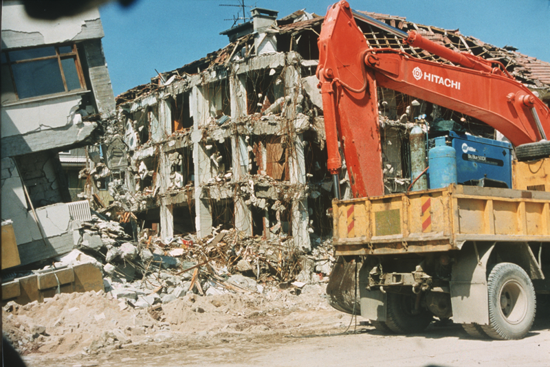
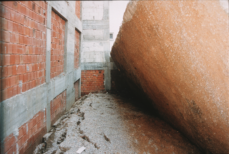
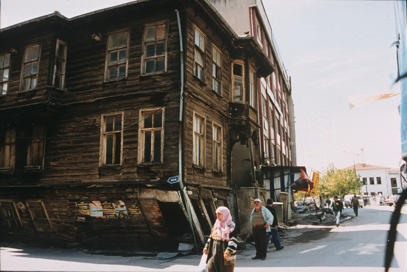
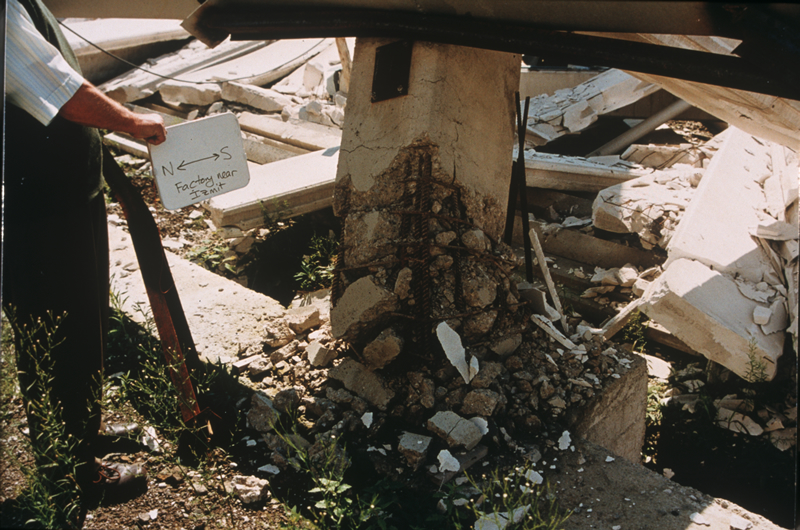
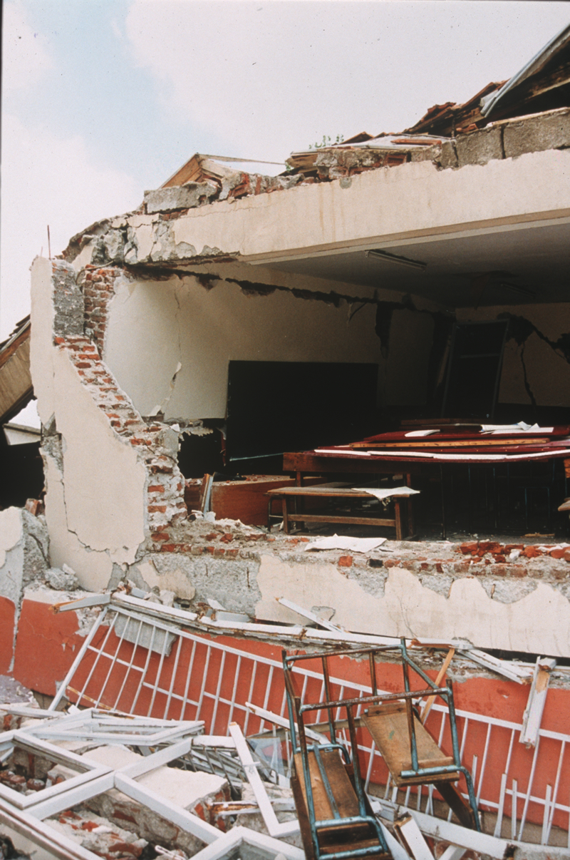
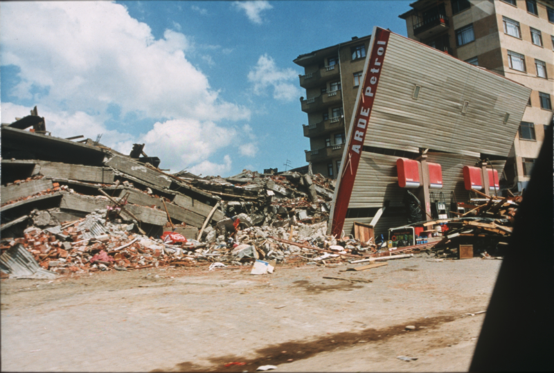
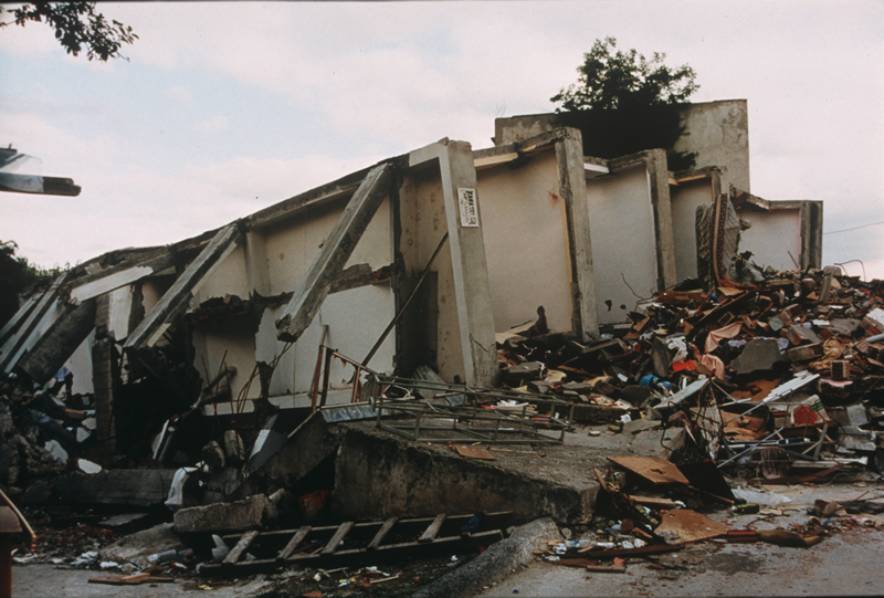
From the NCEI/WDS Natural Hazards Image Database (doi:10.7289/V5154F01). Only photos by the USGS and NOAA, which are public domain, are shown.





More
Every tsunami in 1999The 1900sTsunamis of TurkeyThe earthquakeThis day in weather historyAlerts in force
Sources
Tsunami events and runups from NOAA’s National Centers for Environmental Information, Global Historical Hazard Database, cited as NCEI/WDS, doi:10.7289/V5PN93H7. Public domain. Read 2026-09-24. NCEI tsunami event 2326.