January 25, 1999 Earthquake: Armenia, Calarca, Pereira, Caldas, Huila, Colombia
A magnitude 6.2 earthquake struck Armenia, Calarca, Pereira, Caldas, Huila, Colombia on January 25, 1999 at 18:19:16 UTC, 17 km below the surface. It killed 1,185 people.
Map
Where it struck, with the other significant earthquakes within 200 km. Circles are sized and colored by magnitude; select one for its page.
The earthquake
- Date
- January 25, 1999
- Time
- 18:19:16 UTC
- Place
- Armenia, Calarca, Pereira, Caldas, Huila, Colombia
- Magnitude
- 6.2 (Mw)
- Focal depth
- 17 km (11 mi)
- Tsunami
- None recorded
- Epicenter
- 4.461° N, 75.724° W
- Country
- Colombia
The toll
- Deaths
- 1,185
- Missing
- 700
- Injuries
- 4,750
- Damage
- $1.9 billion
- Houses destroyed
- Very many (over 1,000)
Where the literature gives no number, NCEI records a description on a scale of 1 to 4, printed here in its words. Damage is in millions of US dollars of the year of the event, not adjusted for inflation.
What the record says
NCEI’s account, from the sources it cites.
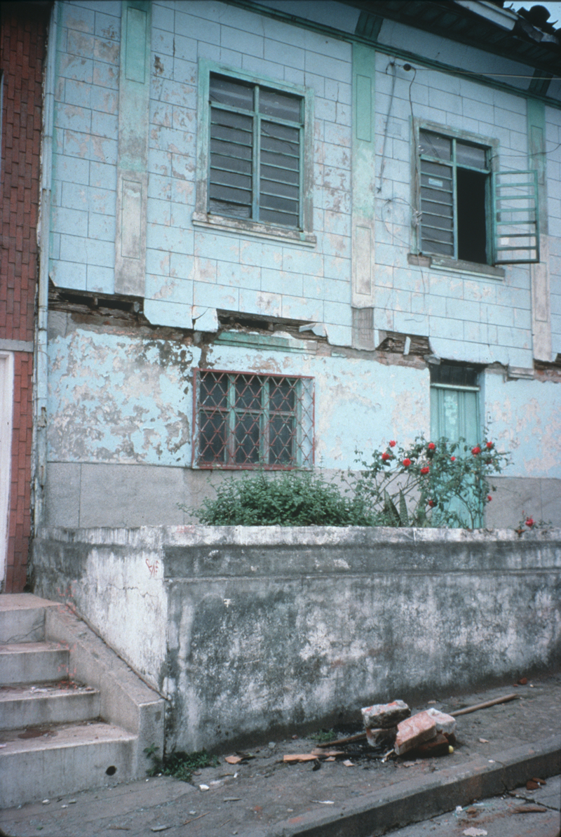
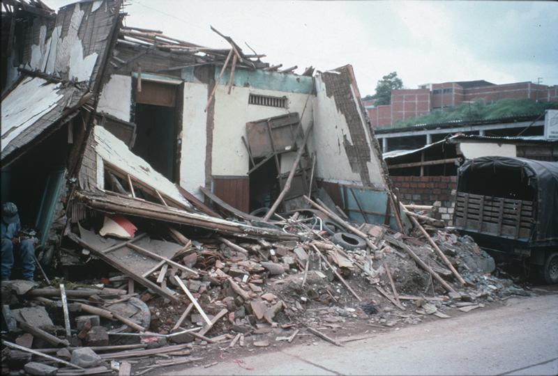
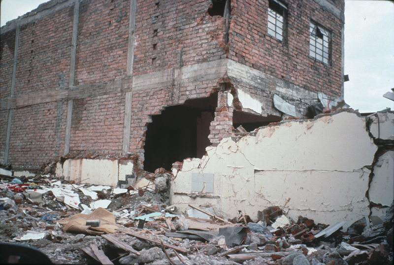
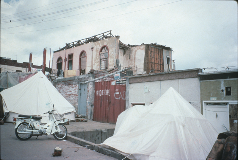
At least 1,185 people killed, over 700 missing and presumed killed, over 4,750 injured and about 250,000 homeless. The most affected city was Armenia where 907 people were killed and about 60 percent of the buildings were destroyed, including the police and fire stations. About 60 percent of the buildings were destroyed at Calarca and about 50 percent of the houses were destroyed at Pereira. Landslides blocked several roads including the Manizales-Bogota road. Damage occurred in Caldas, Huila, Quindio, Risaralda, Tolima and Valle del Cauca Departments. (reference #1053)
1186 killed, $1857.366 million damage. (reference #1250)
$1800 million damage. While Armenia was a less populated city (290,000 inhabitants as opposed to Pereira's 380,000 inhabitants), the city had clearly been much more affected by the earthquake than Pereira had. Devastation to over 60% of Armenia was evident, with some Sectors of the city, such as the central district, over 90% destroyed. Thousands of people lined the streets in makeshift tents, either having either lost their homes or waiting for their homes to be structurally evaluated. Over 900 people died in the earthquake in the city of Armenia alone. In Pereira, damages were less severe, but upon speaking to city officials and others, we found these individuals felt they had not been "spared" by the effects of the earthquake. In fact, with 45 deaths and approximately 40% of the city's structures affected, Pereira is now facing the after effects
of a more devastating event than the 1995 Calima-Darien earthquake, which caused the city over US $50 million in damages. (reference #1279)
Photos
From the NCEI/WDS Natural Hazards Image Database (doi:10.7289/V5154F01). Only photos by the USGS and NOAA, which are public domain, are shown.





Other significant earthquakes nearby
Within 200 km, the deadliest first.
- February 19, 1845, Magdalena River, Colombia
- June 6, 1994, Cauca, Huila, Colombia
- June 16, 1805, Honda,mariquita, Colombia
- November 23, 1979, Manizales-Armenia, Colombia
- July 30, 1962, Mistrato, Manizales, Colombia
- February 8, 1995, Cali, Pereira, Armenia, Calarca, Colombia
- December 20, 1961, Eje Cafetero, Colombia
- July 12, 1785, Bogota,engativa,caxica,soacha, Colombia
- February 5, 1938, Eje Cafetero, Colombia
- September 4, 1966, Colombia
- August 31, 1917, Bogota, Ubaque, Soacha, Caqueza, Colombia
- November 19, 1991, Chaco, Buenaventura, Cali, Colombia
- January 19, 2024, Valle del Cauca, Colombia
- January 26, 2019, Cauca, Huila, Colombia
- February 9, 1878, Manizales, Colombia
More
Significant earthquakes of 1999The 1900sEvery quake the USGS located in 1999Recent earthquakes near hereThis day in weather history
Sources
Significant earthquakes from NOAA’s National Centers for Environmental Information, Global Historical Hazard Database, cited as NCEI/WDS, doi:10.7289/V5PN93H7. Public domain. Read 2026-09-24. NCEI earthquake 5512.