October 15, 1979 Earthquake: Mexicali, Imperial Valley, Mexico, California, United States
A magnitude 6.9 earthquake struck Mexicali, Imperial Valley, Mexico, California, United States on October 15, 1979 at 23:16:54 UTC, 10 km below the surface.
Map
Where it struck, with the other significant earthquakes within 200 km. Circles are sized and colored by magnitude; select one for its page.
The earthquake
- Date
- October 15, 1979
- Time
- 23:16:54 UTC
- Place
- Mexicali, Imperial Valley, Mexico, California, United States
- Magnitude
- 6.9 (Ms)
- Focal depth
- 10 km (6 mi)
- Intensity
- 9 on the Modified Mercalli scale
- Tsunami
- None recorded
- Epicenter
- 32.634° N, 115.324° W
- Country
- United States
The toll
- Injuries
- 91
- Damage
- $30 million
- Houses destroyed
- 2
- Houses damaged
- 1,565
Where the literature gives no number, NCEI records a description on a scale of 1 to 4, printed here in its words. Damage is in millions of US dollars of the year of the event, not adjusted for inflation.
What the record says
NCEI’s account, from the sources it cites.
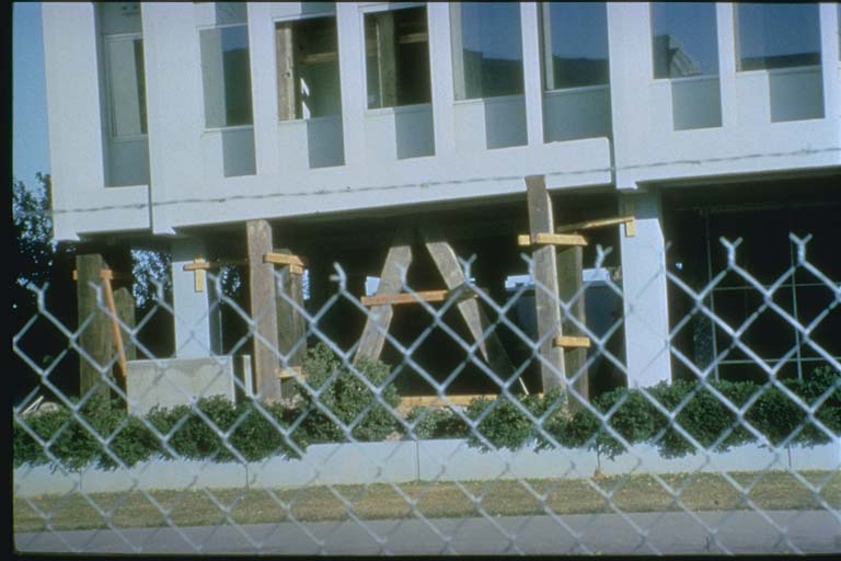
1979. Oct. 15, 23 16 UTC. Imperial Valley area, on the Baja Calif., Mexico-California border. This major earthquake injured 91 people and caused an estimated $30 million in property damage in the Imperial Valley area. It destroyed two houses and 11 commercial buildings and damaged 1,565 houses and 440 commercial buildings. The most severe damage (MM intensity IX) was to the Imperial County Services building in El Centro, which had to be razed. The support pillars failed on this six-story reinforced concrete-frame structure, causing partial collapse of the east part of the building. It was designed under the 1967 provisions of the California Uniform Building Code. Other property damage caused by this earthquake at El Centro, Brawley, and Calexico and at Mexicali, Mexico, is typical of MM intensity VII, which is the highest intensity assigned to any location except the Imperial County Services building. (reference #542)
Photos
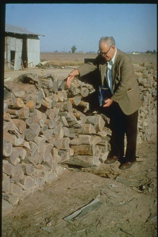
From the NCEI/WDS Natural Hazards Image Database (doi:10.7289/V5154F01). Only photos by the USGS and NOAA, which are public domain, are shown.



Other significant earthquakes nearby
Within 200 km, the deadliest first.
- May 19, 1940, California, Mexico, United States
- June 23, 1915, El Centro, California, United States
- December 25, 1899, California, United States
- April 4, 2010, Baja California, Mexico
- November 24, 1987, Superstition Hills, California, United States
- January 1, 1927, California, Mexico, United States
- June 9, 1980, Northwestern Mexico
- April 21, 1918, San Jacinto, Hemet, California, United States
- February 9, 2008, Baja California, Mexico
- November 29, 1852, N. Mexico
- December 30, 2009, Mexicali, Mexico
- February 22, 2002, Mexicali, Baja California, Mexico
- February 24, 1892, San Diego, California, Baja California, USA, Mexico
- June 15, 2010, Ocotillo, California, United States
- April 26, 1981, Westmorland,calipatria, California, United States
More
Significant earthquakes of 1979The 1900sEvery quake the USGS located in 1979Recent earthquakes near hereThis day in weather history
Sources
Significant earthquakes from NOAA’s National Centers for Environmental Information, Global Historical Hazard Database, cited as NCEI/WDS, doi:10.7289/V5PN93H7. Public domain. Read 2026-09-24. NCEI earthquake 4847.