M5.2 earthquake 37 km NW of Nelson Lagoon, Alaska
A magnitude 5.2 earthquake struck 37 km NW of Nelson Lagoon, Alaska on Thu, Apr 21, 2022, 9:27 PM AKDT (05:27 UTC), 212 km (132 mi) below the surface.
Map
Where this earthquake was located, with the others nearby. Select one for its page.
The earthquake
- Magnitude
- 5.2 (Mww, W-phase moment), moderate
- Magnitude from
- USGS National Earthquake Information Center
- Local time
- UTC
- 2022-04-22 05:27:35 UTC
- Depth
- 212.4 km (132.0 mi), intermediate-depth
- Epicenter
- 56.259° N, 161.601° W
- Region
- Alaska
- Felt reports
- 1
- Strongest shaking
- III, weak shaking
- Tsunami flag
- Yes: a large quake in an oceanic region
- Status
- Reviewed by a seismologist
Magnitude estimates
Different scales measure different things and differ by a few tenths. The USGS marks one as preferred, and it is the one this page uses.
| Mag. | Scale | Computed by | Notes |
|---|---|---|---|
| 5.2 | Mww, W-phase moment | USGS National Earthquake Information Center | Preferred · Reviewed · ±0.031 · 103 stations |
| 5.2 | Mww, W-phase moment | Alaska Earthquake Center | Preliminary |
| 4.8 | ML, local (Richter) | NOAA National Tsunami Warning Center | Reviewed · 20 stations |
| 5.3 | Mww, W-phase moment | USGS, automatic first solution | First automatic solution · Confirmed |
Tsunami
The USGS flags a quake this large in an oceanic region. The flag does not mean a tsunami happened; the tsunami warning centers decide that, and their messages are below when they issued any.
Current tsunami warnings: tsunami.gov. Warnings in force in the US also appear on our alerts pages.
Shaking
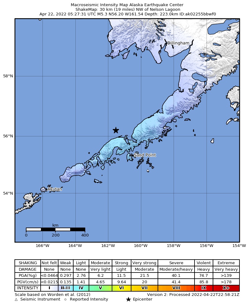
The USGS ShakeMap: shaking estimated from seismic stations and the quake’s size, on the Modified Mercalli intensity scale.
- Strongest estimated
- III, weak shaking
- Peak ground acceleration
- 0.3% of gravity
- Peak ground velocity
- -1.9 cm/s
- Map
- Automatic
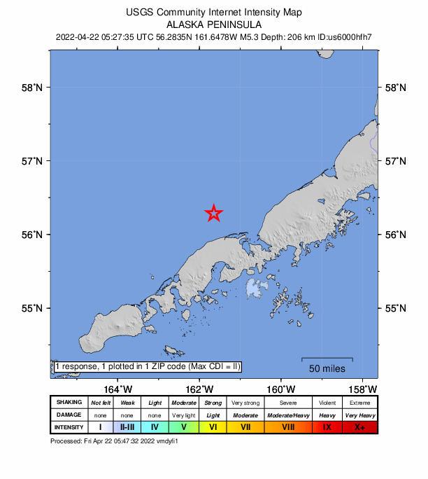
Did you feel it?
1 person reported to the USGS what they felt; the strongest reported shaking was II, weak shaking.
Fault motion and ground failure
How the rock slipped, from the moment tensor, and the USGS estimate of landslides and liquefaction.
- Faulting
- Oblique normal
- Moment magnitude
- 5.2 Mww
- Nodal plane 1
- Strike 173°, dip 43°, rake -38°
- Nodal plane 2
- Strike 293°, dip 65°, rake -126°
How well it is located
Reviewed by a seismologist.
- Location uncertainty
- About 5.2 km horizontally, 3.9 km in depth
- Magnitude uncertainty
- ±0.03
- Depth from
- From location
- Station coverage gap
- 31°
- Stations used
- 276
Nearest places
Distance and direction from each place to the epicenter, with its forecast.
Nearby
Within 100 km, magnitude 2.2 and up: 6 in the 60 days after this one and 4 in the 30 days before it.
After
- 3.429 km SSW of Nelson Lagoon, Alaska · 1599 days ago · 154 km deep · 54 km away
- 2.839 km S of Nelson Lagoon, Alaska · 1599 days ago · 160 km deep · 71 km away
- 2.855 km SSW of Nelson Lagoon, Alaska · 1591 days ago · 172 km deep · 75 km away
- 2.860 km SSW of Nelson Lagoon, Alaska · 1588 days ago · 117 km deep · 80 km away
- 2.553 km E of Nelson Lagoon, Alaska · 1572 days ago · 149 km deep · 85 km away
- 2.425 km SW of Nelson Lagoon, Alaska · 1565 days ago · 168 km deep · 46 km away
Before
- 2.761 km NNE of King Cove, Alaska · 1629 days ago · 135 km deep · 80 km away
- 2.850 km E of Nelson Lagoon, Alaska · 1635 days ago · 156 km deep · 82 km away
- 2.362 km NE of King Cove, Alaska · 1636 days ago · 124 km deep · 86 km away
- 2.79 km NW of Nelson Lagoon, Alaska · 1641 days ago · 213 km deep · 28 km away
Earthquakes todayAlaska earthquakesLive radar here
Sources
From the USGS Earthquake Hazards Program and its partner networks, event us6000hfh7 (also filed as at00raq75x, usauto6000hfh7, ak02255bbwf0). Read Fri, Oct 2, 2026, 8:07 PM UTC.