M3.1 earthquake 26 km SSE of Protection, Kansas
A magnitude 3.1 earthquake struck 26 km SSE of Protection, Kansas on Fri, Jul 21, 2017, 6:58 AM CDT (11:58 UTC), 7 km (5 mi) below the surface.
A larger quake followed: M3.5 6 km NE of Carmen, Oklahoma. This one was a foreshock.
Map
Where this earthquake was located, with the others nearby. Select one for its page.
The earthquake
- Magnitude
- 3.1 (ml), minor
- Local time
- UTC
- 2017-07-21 11:58:59 UTC
- Depth
- 7.3 km (4.6 mi), shallow
- Epicenter
- 36.977° N, 99.385° W
- Region
- Kansas
- Tsunami flag
- No
- Status
- Reviewed by a seismologist
Did you feel it?
No one has reported feeling this quake to the USGS.
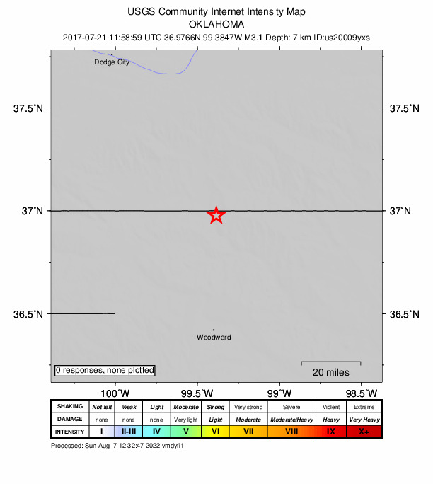
How well it is located
Reviewed by a seismologist.
- Location uncertainty
- About 3.5 km horizontally, 6.8 km in depth
- Station coverage gap
- 168°
- Stations used
- 0
Nearest places
Distance and direction from each place to the epicenter, with its forecast.
Nearby
Within 100 km, magnitude 1.5 and up: 46 in the 60 days after this one and 15 in the 30 days before it.
After
- 2.727 km ENE of Buffalo, Oklahoma · 3358 days ago · 5 km deep · 3 km away · felt by 3
- 2.526 km ENE of Buffalo, Oklahoma · 3356 days ago · 3 km deep · 2 km away
- 2.926 km SSE of Protection, Kansas · 3355 days ago · 3 km deep · 0 km away · felt by 4
- 2.617 km SE of Waynoka, Oklahoma · 3355 days ago · 8 km deep · 80 km away · felt by 1
- 2.726 km ENE of Buffalo, Oklahoma · 3354 days ago · 3 km deep · 1 km away
- 2.627 km ENE of Buffalo, Oklahoma · 3353 days ago · 3 km deep · 2 km away
- 2.717 km SSE of Waynoka, Oklahoma · 3353 days ago · 5 km deep · 80 km away
- 2.726 km SSE of Protection, Kansas · 3351 days ago · 5 km deep · 4 km away · felt by 5
- 2.425 km SSE of Protection, Kansas · 3350 days ago · 5 km deep · 3 km away
- 2.728 km SSE of Protection, Kansas · 3350 days ago · 4 km deep · 3 km away
- 2.59 km WSW of Waynoka, Oklahoma · 3349 days ago · 6 km deep · 62 km away
- 2.526 km NE of Buffalo, Oklahoma · 3348 days ago · 5 km deep · 1 km away
- 2.615 km SSE of Waynoka, Oklahoma · 3348 days ago · 6 km deep · 78 km away
- 3.115 km SSE of Waynoka, Oklahoma · 3347 days ago · 6 km deep · 78 km away
- 3.18 km SW of Waynoka, Oklahoma · 3347 days ago · 10 km deep · 62 km away · felt by 5
- 2.65 km SE of Mooreland, Oklahoma · 3345 days ago · 6 km deep · 67 km away · felt by 1
- 3.215 km SSE of Waynoka, Oklahoma · 3345 days ago · 7 km deep · 78 km away
- 3.316 km SSE of Waynoka, Oklahoma · 3345 days ago · 7 km deep · 78 km away · felt by 7
- 2.62 km NNE of Lambert, Oklahoma · 3343 days ago · 5 km deep · 91 km away · felt by 2
- 2.59 km SW of Waynoka, Oklahoma · 3340 days ago · 7 km deep · 62 km away
- 2.315 km SSE of Waynoka, Oklahoma · 3338 days ago · 6 km deep · 78 km away · felt by 2
- 2.317 km SE of Waynoka, Oklahoma · 3337 days ago · 5 km deep · 81 km away
- 3.016 km SSE of Waynoka, Oklahoma · 3336 days ago · 6 km deep · 79 km away · felt by 1
- 2.721 km SE of Waynoka, Oklahoma · 3336 days ago · 7 km deep · 84 km away · felt by 2
- 3.016 km SE of Waynoka, Oklahoma · 3334 days ago · 6 km deep · 79 km away · felt by 1
- 3.126 km SSE of Protection, Kansas · 3333 days ago · 5 km deep · 2 km away · felt by 2
- 3.128 km SSE of Protection, Kansas · 3333 days ago · 5 km deep · 4 km away
- 2.817 km SSE of Waynoka, Oklahoma · 3330 days ago · 6 km deep · 79 km away · felt by 3
- 2.516 km SSE of Waynoka, Oklahoma · 3325 days ago · 6 km deep · 79 km away
- 2.327 km ENE of Buffalo, Oklahoma · 3324 days ago · 1 km deep · 3 km away
- 2.426 km NE of Buffalo, Oklahoma · 3322 days ago · 3 km deep · 1 km away
- 2.919 km SE of Waynoka, Oklahoma · 3322 days ago · 5 km deep · 82 km away
- 3.56 km NE of Carmen, Oklahoma · 3319 days ago · 6 km deep · 97 km away · felt by 1
- 2.59 km E of Mutual, Oklahoma · 3319 days ago · 6 km deep · 88 km away
- 2.626 km ENE of Buffalo, Oklahoma · 3318 days ago · 1 km deep · 1 km away
- 2.816 km SE of Waynoka, Oklahoma · 3313 days ago · 6 km deep · 80 km away
- 2.917 km SE of Waynoka, Oklahoma · 3313 days ago · 7 km deep · 80 km away · felt by 3
- 2.52 km WSW of Aline, Oklahoma · 3309 days ago · 7 km deep · 97 km away · felt by 3
- 2.627 km NW of Freedom, Oklahoma · 3307 days ago · 2 km deep · 6 km away
- 2.79 km WSW of Waynoka, Oklahoma · 3307 days ago · 6 km deep · 61 km away
- 2.41 km SSE of Chester, Oklahoma · 3305 days ago · 6 km deep · 95 km away
- 2.91 km S of Chester, Oklahoma · 3305 days ago · 6 km deep · 95 km away · felt by 3
- 3.01 km SSW of Cherokee, Oklahoma · 3305 days ago · 8 km deep · 94 km away · felt by 4
- 2.41 km ESE of Chester, Oklahoma · 3304 days ago · 4 km deep · 96 km away
- 3.01 km SSW of Cherokee, Oklahoma · 3303 days ago · 8 km deep · 94 km away · felt by 1
- 2.717 km SSE of Waynoka, Oklahoma · 3302 days ago · 8 km deep · 79 km away
Before
- 2.523 km SSE of Protection, Kansas · 3358 days ago · 5 km deep · 3 km away
- 2.46 km NE of Carmen, Oklahoma · 3361 days ago · 5 km deep · 95 km away
- 2.45 km NE of Carmen, Oklahoma · 3361 days ago · 5 km deep · 95 km away
- 2.65 km NE of Carmen, Oklahoma · 3361 days ago · 6 km deep · 95 km away
- 3.65 km NE of Carmen, Oklahoma · 3361 days ago · 5 km deep · 95 km away · felt by 13
- 2.617 km SSE of Waynoka, Oklahoma · 3368 days ago · 8 km deep · 80 km away
- 2.72 km ESE of Lambert, Oklahoma · 3369 days ago · 7 km deep · 94 km away · felt by 1
- 2.6Oklahoma · 3377 days ago · 3 km deep · 83 km away
- 2.8Oklahoma · 3380 days ago · 5 km deep · 68 km away
- 2.89 km SW of Waynoka, Oklahoma · 3380 days ago · 6 km deep · 62 km away
- 3.59 km SW of Waynoka, Oklahoma · 3380 days ago · 6 km deep · 62 km away · felt by 3
- 2.310 km NNE of Quinlan, Oklahoma · 3382 days ago · 5 km deep · 60 km away
- 2.86 km N of Buffalo, Oklahoma · 3384 days ago · 3 km deep · 24 km away · felt by 20
- 2.41 km NNW of Lambert, Oklahoma · 3385 days ago · 5 km deep · 91 km away
- 2.917 km SSE of Waynoka, Oklahoma · 3386 days ago · 1 km deep · 79 km away · felt by 4
Earthquakes todayKansas earthquakesLive radar here
Sources
From the USGS Earthquake Hazards Program and its partner networks, event us20009yxs. Read Wed, Sep 30, 2026, 9:30 AM UTC.