M2.5 earthquake 181 km SSE of Atka, Alaska
A magnitude 2.5 earthquake struck 181 km SSE of Atka, Alaska on Sun, Jan 3, 2016, 4:35 PM HAST (02:35 UTC), 11 km (7 mi) below the surface.
A larger quake followed: M4.0 157 km SSE of Atka, Alaska. This one was a foreshock.
Map
Where this earthquake was located, with the others nearby. Select one for its page.
The earthquake
- Magnitude
- 2.5 (ML, local (Richter)), micro
- Magnitude from
- Alaska Earthquake Center
- Local time
- UTC
- 2016-01-04 02:35:53 UTC
- Depth
- 10.8 km (6.7 mi), shallow
- Epicenter
- 50.635° N, 173.448° W
- Region
- Alaska
- Tsunami flag
- No
- Status
- Reviewed by a seismologist
Did you feel it?
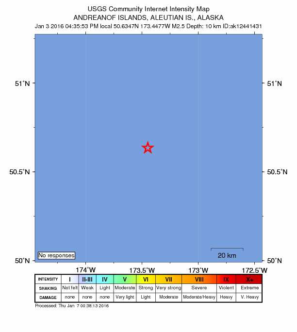
No one has reported feeling this quake to the USGS.
How well it is located
Reviewed by a seismologist.
- Stations used
- 12
Nearby
Within 100 km, magnitude 1.5 and up: 16 in the 60 days after this one and 1 in the 30 days before it.
After
- 2.6140 km SE of Atka, Alaska · 3919 days ago · 29 km deep · 86 km away
- 2.4136 km S of Atka, Alaska · 3901 days ago · 21 km deep · 65 km away
- 2.7208 km SSE of Atka, Alaska · 3899 days ago · 19 km deep · 62 km away
- 2.5180 km SSE of Atka, Alaska · 3899 days ago · 29 km deep · 14 km away
- 2.3194 km SE of Atka, Alaska · 3894 days ago · 34 km deep · 81 km away
- 2.4105 km SSE of Atka, Alaska · 3892 days ago · 10 km deep · 85 km away
- 2.2196 km S of Atka, Alaska · 3889 days ago · 13 km deep · 84 km away
- 2.8106 km SE of Atka, Alaska · 3889 days ago · 26 km deep · 97 km away
- 4.0157 km SSE of Atka, Alaska · 3887 days ago · 27 km deep · 28 km away
- 2.2156 km SSE of Atka, Alaska · 3887 days ago · 10 km deep · 29 km away
- 2.1102 km S of Atka, Alaska · 3884 days ago · 24 km deep · 93 km away
- 2.3100 km S of Atka, Alaska · 3884 days ago · 15 km deep · 93 km away
- 2.5160 km S of Atka, Alaska · 3882 days ago · 5 km deep · 44 km away
- 2.3164 km S of Atka, Alaska · 3878 days ago · 8 km deep · 49 km away
- 2.8203 km S of Atka, Alaska · 3871 days ago · 4 km deep · 90 km away
- 2.3189 km S of Atka, Alaska · 3871 days ago · 25 km deep · 79 km away
Before
Earthquakes todayAlaska earthquakesLive radar here
Sources
From the USGS Earthquake Hazards Program and its partner networks, event ak0166njvef (also filed as ak12441431). Read Mon, Oct 5, 2026, 9:33 AM UTC.