M5.6 earthquake 11 km S of Lefkáda, Greece
A magnitude 5.6 earthquake struck 11 km S of Lefkáda, Greece on Fri, Nov 11, 1960, 7:31 AM GMT+2 (05:31 UTC), 25 km (16 mi) below the surface.
Map
Where this earthquake was located, with the others nearby. Select one for its page.
The earthquake
- Magnitude
- 5.6 (mw), moderate
- Local time
- UTC
- 1960-11-11 05:31:31 UTC
- Depth
- 25.0 km (15.5 mi), shallow
- Epicenter
- 38.724° N, 20.681° E
- Region
- Greece
- Strongest shaking
- VI, strong shaking
- Tsunami flag
- No
- Status
- Reviewed by a seismologist
Shaking
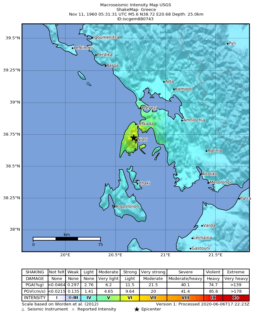
The USGS ShakeMap: shaking estimated from seismic stations and the quake’s size, on the Modified Mercalli intensity scale.
- Strongest estimated
- VI, strong shaking
- Peak ground acceleration
- 16.2% of gravity
- Peak ground velocity
- 2.1 cm/s
- Map
- Automatic
Did you feel it?
No one has reported feeling this quake to the USGS.
How well it is located
Reviewed by a seismologist.
- Magnitude uncertainty
- ±0.64
- Depth from
- From location
Nearest places
Distance and direction from each place to the epicenter, with its forecast.
Nearby
Within 100 km, magnitude 2.6 and up: 0 in the 60 days after this one and 1 in the 30 days before it.
Before
Earthquakes todayGreece earthquakesLive radar here
Sources
From the USGS Earthquake Hazards Program and its partner networks, event iscgem880743. Read Sat, Sep 26, 2026, 7:07 PM UTC.