May 18, 1980 Tsunami: Washington, United States
A tsunami caused by a volcano and a landslide began at Washington, United States on May 18, 1980. The water rose as high as 250 meters. Its effects were recorded at 2 places. It killed 61 people, counting the earthquake or eruption that caused it.
Where the waves reached
The source (white) and every runup with a place, colored by the water height recorded there. A ring is a runup NCEI marks doubtful.
- Under 1 m
- 1 to 3 m
- 3 to 10 m
- 10 to 30 m
- 30 m and more
- Height not recorded
The tsunami
- Date
- May 18, 1980
- Source
- Washington, United States
- Cause
- Volcano and landslide
- Earthquake
- The earthquake
- Volcano
- The eruption that caused it
- Maximum water height
- 250 m (820.2 ft)
- Runups recorded
- 2
- Waters
- A lake or river, not the ocean
- How certain
- Definite tsunami
- Source location
- 46.200° N, 122.180° W
The toll
- Deaths
- 61 with the earthquake or eruption that caused it
Where the literature gives no number, NCEI records a description on a scale of 1 to 4, printed here in its words. Damage is in millions of US dollars of the year of the event, not adjusted for inflation.
What the record says
NCEI’s account, from the sources it cites.
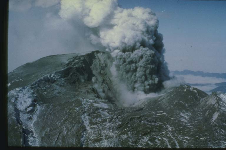
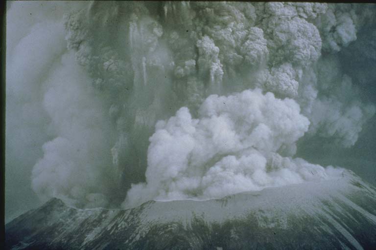
On 18 May 1980 the upper 1500 ft (460 m) including the former summit of Mount St. Helens suddenly detached as a gigantic landslide (debris avalanche). The great avalanche slipped off the volcano and slammed into Spirit Lake, raising the lake surface by 63 m (207 ft) and sending a cataclysmic tsunami surging around the lake basin as high as 250 m (820 ft) above the old lake level.
(above from reference #2596)
Every runup
Nearest the source first. Heights are above sea level at the time; a tide gauge reads half the wave’s full height.
| Where | Country | Km from source | Water height, m | Inland, m | Measured by | First wave, UTC | Deaths |
|---|---|---|---|---|---|---|---|
| Spirit Lake West, WA, WA | United States | 9 | 250 | Eyewitness observation of water height | |||
| Spirit Lake East, WA, WA | United States | 10 | 225 | Eyewitness observation of water height |
Photos
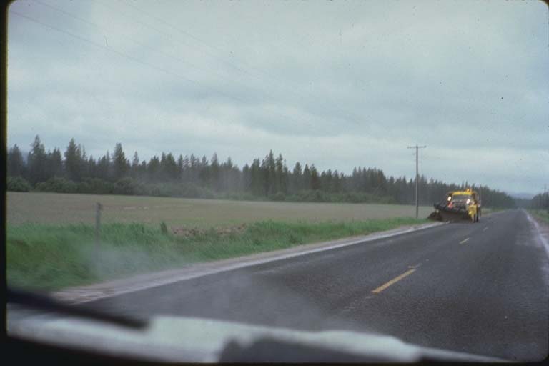
From the NCEI/WDS Natural Hazards Image Database (doi:10.7289/V5154F01). Only photos by the USGS and NOAA, which are public domain, are shown.
More
Every tsunami in 1980The 1900sTsunamis of United StatesThe earthquakeThe eruptionThis day in weather historyAlerts in force
Sources
Tsunami events and runups from NOAA’s National Centers for Environmental Information, Global Historical Hazard Database, cited as NCEI/WDS, doi:10.7289/V5PN93H7. Public domain. Read 2026-09-24. NCEI tsunami event 3018.