April 25, 1992 Earthquake: Ferndale, Petrolia, Humboldt County, California, United States
A magnitude 7.1 earthquake struck Ferndale, Petrolia, Humboldt County, California, United States on April 25, 1992 at 18:06:04 UTC, 15 km below the surface. It caused a tsunami.
Map
Where it struck, with the other significant earthquakes within 200 km. Circles are sized and colored by magnitude; select one for its page.
The earthquake
- Date
- April 25, 1992
- Time
- 18:06:04 UTC
- Place
- Ferndale, Petrolia, Humboldt County, California, United States
- Magnitude
- 7.1 (Ms)
- Focal depth
- 15 km (9 mi)
- Intensity
- 8 on the Modified Mercalli scale
- Tsunami
- Yes: the tsunami it caused
- Epicenter
- 40.368° N, 124.316° W
- Country
- United States
The toll
- Injuries
- 98
- Damage
- $75 million
Where the literature gives no number, NCEI records a description on a scale of 1 to 4, printed here in its words. Damage is in millions of US dollars of the year of the event, not adjusted for inflation.
What the record says
NCEI’s account, from the sources it cites.
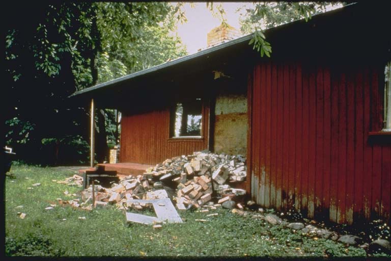
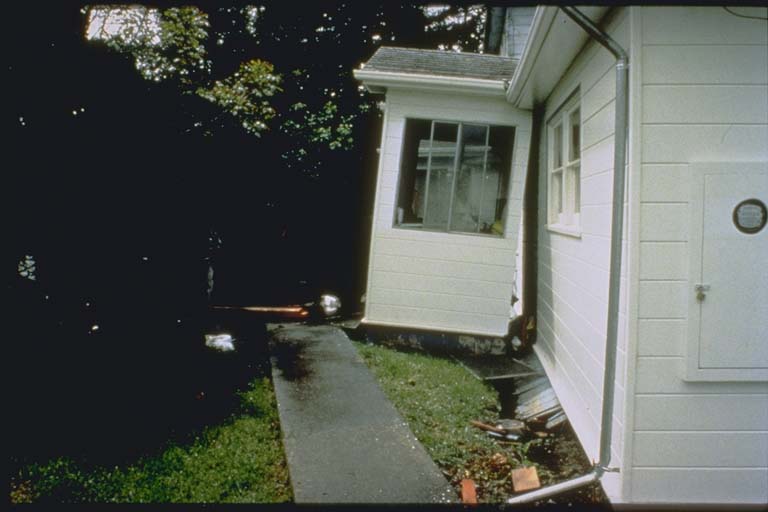
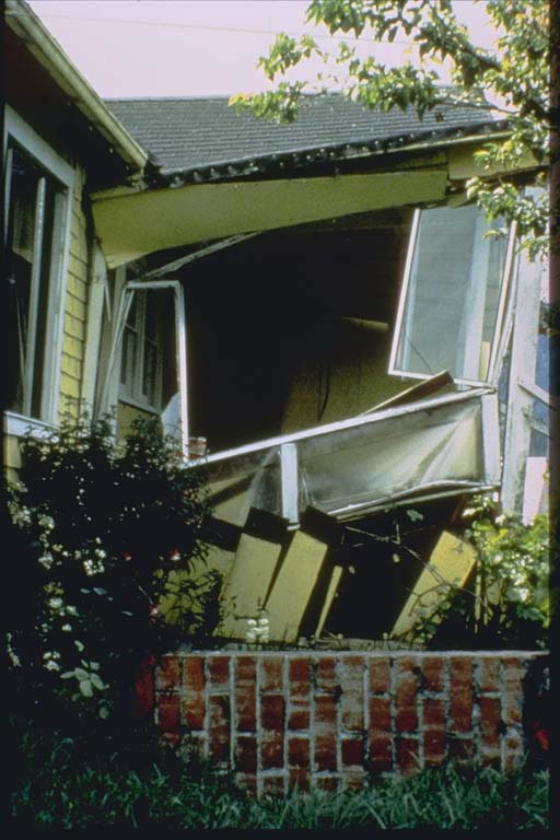
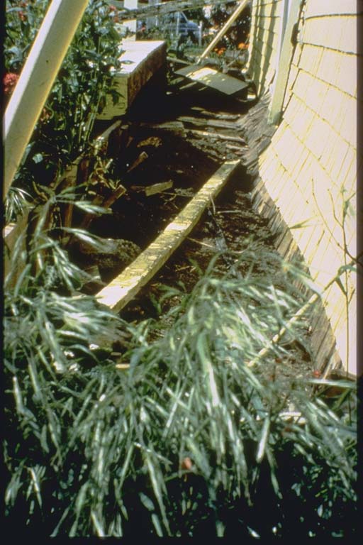
1992, April 25. Ninety-eight people injured and considerable damage in southwestern Humboldt County. Preliminary estimate of damage in this area from the series of earthquakes is 66 million U.S. dollars. Maximum intensities (VIII) at Ferndale, Honeydew, Petrolia, Rio Dell and Scotia; (VII) at Fortuna and Loleta; (VI) at Eureka. Landslides and rockfalls occurred in the Honeydew-Petrolia area. Liquefaction was noted in areas of the Eel and Mattole River Valleys. Felt throughout much of northern California as far south as San Francisco and southeast to Carson City and Reno, Nevada. Also felt in many areas of southern Oregon. Strong-motion records indicate peak horizontal accelerations of 1.3g at Cape Mendocino and 0.69g at Petrolia. A tsunami was generated with maximum wave heights (peak-to-trough) of 1.1 m. at Crescent City, 0.2 m. at Arena Cove and 0.17 m. at Pt. Reyes, California; 0.2 m. at Port Orford, Oregon; 0.15 m. at Kahului and 0.1 m. at Hilo, Hawaii. (reference #1053)
1992, April 25. $75 million damage, 94 people affected. (Reference #1250)
Photos
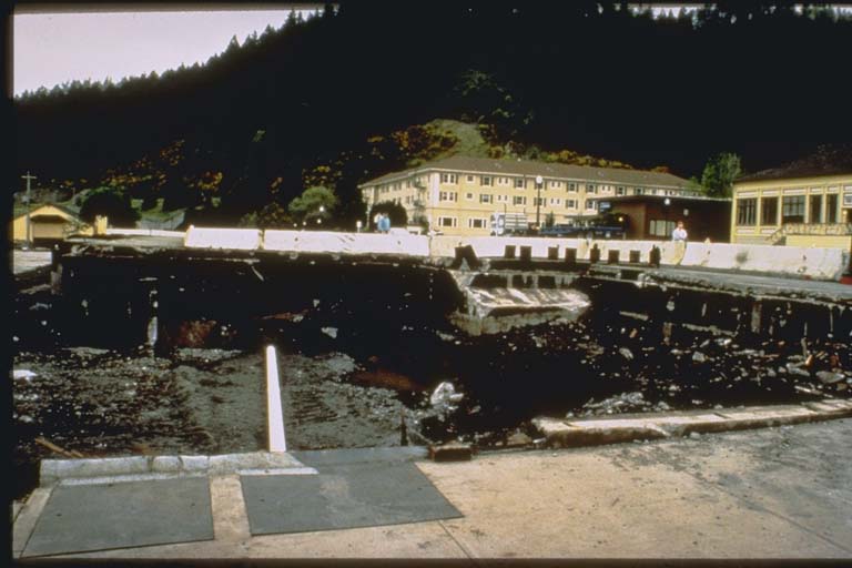
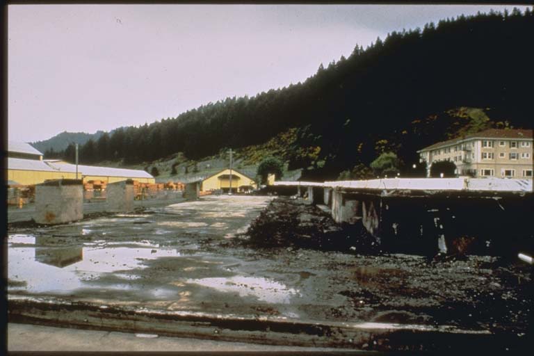
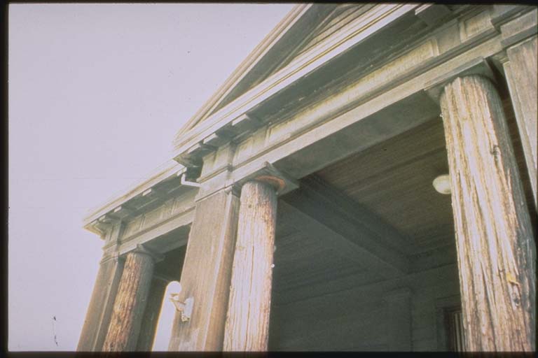
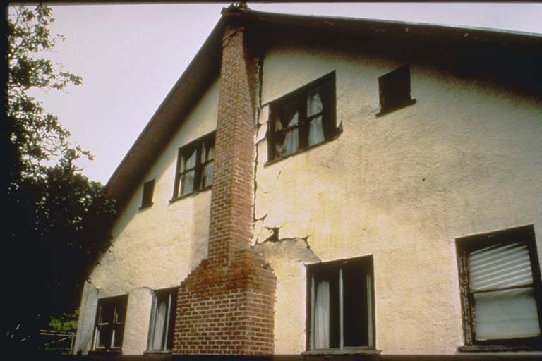
From the NCEI/WDS Natural Hazards Image Database (doi:10.7289/V5154F01). Only photos by the USGS and NOAA, which are public domain, are shown.




Other significant earthquakes nearby
Within 200 km, the deadliest first.
- December 20, 2022, Humboldt County, California, United States
- June 6, 1932, Eureka, California, United States
- December 21, 1954, Humboldt County, California, United States
- March 2, 1871, Humboldt County, California, United States
- August 17, 1991, Honeydew, Whitethorn, Petrolia, California, United States
- December 26, 1994, Eureka, Samoa, Arcata, Blue Lake, California, United States
- March 20, 1855, Northern, California, United States
- January 10, 2010, Off Coast Northern, California, United States
- December 5, 2024, Offshore Cape Mendocino, California, United States
- January 22, 1923, Northern, California, United States
- October 1, 1865, Fort Humboldt, Eureka, California, United States
- February 9, 1941, Northern, California, United States
- November 8, 1980, North Coast, California, United States
- September 1, 1994, Honeydew, North, California, United States
- January 31, 1922, Northern, California, United States
More
Significant earthquakes of 1992The 1900sEvery quake the USGS located in 1992Recent earthquakes near hereThis day in weather history
Sources
Significant earthquakes from NOAA’s National Centers for Environmental Information, Global Historical Hazard Database, cited as NCEI/WDS, doi:10.7289/V5PN93H7. Public domain. Read 2026-09-24. NCEI earthquake 5321.